Riding real courses: GPX route worlds
OpenCycle has imported GPX files for a while: drop one in and the road takes on the file's gradients. As of this week it takes on the rest of the course too — the bends, the horizon, and the scenery that actually stands along the road.
The test course for all of this was the Indian Wells – La Quinta 70.3 bike leg: ninety kilometers through the Coachella Valley, from the shore of Lake Cahuilla, across a long open desert, through the date plantations around Thermal and Oasis, to a finish in the streets of La Quinta. By the end of the work it had been reviewed frame by frame against the real thing.
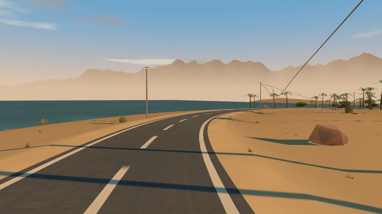
The road is the course
A GPX file carries two things a simulator can honor exactly: how the road climbs and how it turns. The gradients have always been honest — the profile you sweat up is the file's own elevation. The new part is the bends. U-turns arrive as U-turns, right-angle corners as corners, and a winding canyon road winds, all inside the engine's own geometry rules. A debug map view (press M on a route world) draws the real course shape over an actual map, so you can scrub anywhere along the route and check the road against reality — which is exactly how we tested it, on courses as different as Alpe d'Huez, Chapman's Peak, the Queen K at Kona and a river loop in Tulsa.
Scenery that tells the truth
The world beside the road is grown from data about the real one: which stretches are orchard, which are town, where the water is and which side it is on, where the desert is genuinely empty. On the Indian Wells course that becomes date palms in their real plantation rows, a creosote flat where the course crosses open desert for twenty kilometers, neighborhoods that thicken into La Quinta at the finish — and the mountains stand on their true compass bearings, so the Santa Rosas hold the west the whole way, exactly as they do from the saddle.
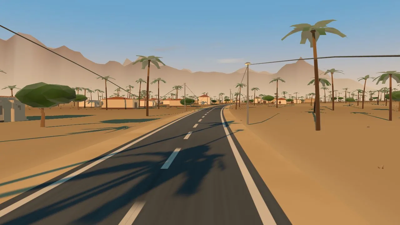
Landmarks you ride through, not past
Some things beside a course are not habitat, they are events: the fuel stop at the only crossroads for miles, the gated communities of the finishing circuit, the grandstand at the line. Routes can now summon those as real geometry — and the finish is spanned by a proper gantry, because a finish line is a threshold you ride through, not scenery you ride past.
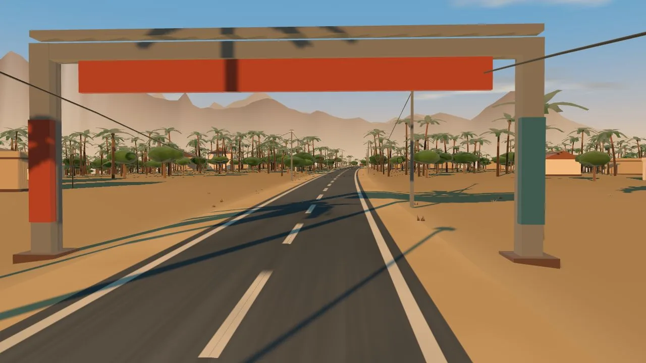
Ride it together
A route world travels in its invite link, like every OpenCycle world: share a ride link and your friends drop onto the same course — the same bends, the same gradients, the same lake on the same side. Race day recon works better with company.
Try it
Open the worlds panel in the app, drop in a GPX file, and ride. The importer asks your own AI chat to write the scenery — the same trick world creation uses, so there is no API key and no bill — or you can ride the bare course through any world you like and let the file supply the suffering. The road, the climbing and the corners are yours either way.